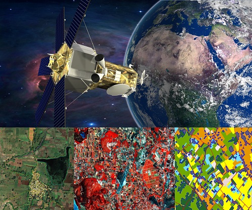
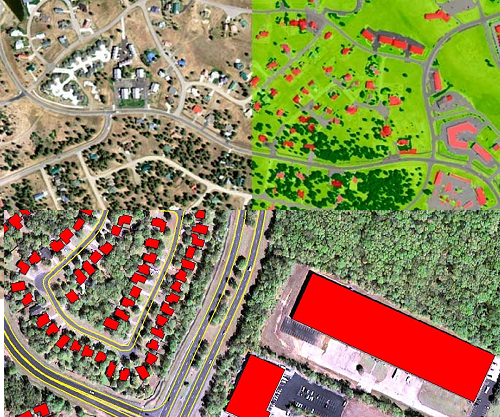
AGSS procure and process the satellite images (LISS-IV, Cartosat-I & II, WorldView-1, 2 & 3, Geoeye-1 and etc…) for government and private sector uses. Based on the client requirements the final processed data produced at a very high quality. We carry out remote sensing services by creating, analyzing and comparing the data of forest, vegetation, erosion, land use, natural hazards etc. for the development of city planning, solid waste management, forest planning and so on.
AGSS services carry out the processing of raw satellite images, image rectification, classification, subset, mosaic, geo-referencing, change detection analysis for various images and for specific applications such as forest monitoring, drought analysis, slope analysis, mining and geology mapping, watershed management, urban planning and natural hazard analysis.
- Image Processing
- Geo-reference
- Mosaic & Subset
- Image Interpretation
- Image Classification
- Agriculture/Cropping
- Mining and Geology
- Watershed Management
- Soil erosion
- Spatial Analysis
- Slope Analysis
- DEM/DTM


