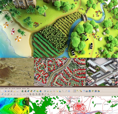
Geographical Information System (GIS) includes capturing, storing, integrating, manipulating, analyzing and displaying data related to positions on the earth’s surface. GIS is the visualization of geographic data, analysis of spatial relationships and efficient data management. The GIS data conversions allow data from different sources to be merged in one common format which allows for easy access, analysis and utilization. To integrate the spatial and non-spatial data by using high-end GIS Mapping and GIS data conversions software. These services assist the customers to create contour maps, landuse / landcover maps, town planning & urban development, cadastral maps, thematic maps and environmental maps. In the host industries such as environmental, forestry, utility, agriculture, land information management and other GIS Mapping.
AGSS provide excellent geo spatial services to your organization. We give our best technology and services for improving your department requirement to update your infrastructure mapping; a county assessor is looking for a professional to maintain data.
- Cadastral / Parcel
- Landuse and Landcover
- Contour
- Location Based Services (LBS)
- Media and Political GIS application
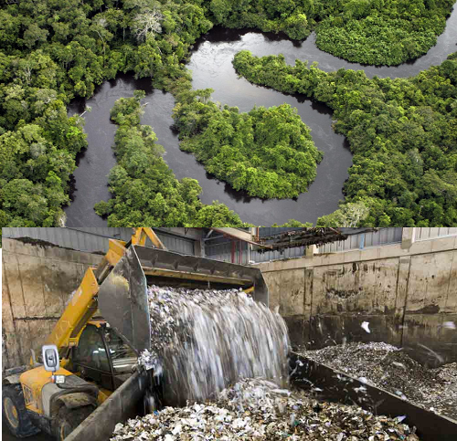
- Water Resource Management & Forest
- Solid waste Management
- Environmental & Natural Resource Management
- Wetland Mapping
- Costal Management
- Urban and Town Planning
- Transportation Planning & Management
- Property Tax Mapping
- Soil Mapping
- Disaster Mitigation Management


